this post was submitted on 03 Sep 2025
33 points (100.0% liked)

pics

24560 readers
879 users here now

Rules:

1.. Please mark original photos with [OC] in the title if you're the photographer

2..Pictures containing a politician from any country or planet are prohibited, this is a community voted on rule.

3.. Image must be a photograph, no AI or digital art.

4.. No NSFW/Cosplay/Spam/Trolling images.

5.. Be civil. No racism or bigotry.

Photo of the Week Rule(s):

1.. On Fridays, the most upvoted original, marked [OC], photo posted between Friday and Thursday will be the next week's banner and featured photo.

2.. The weekly photos will be saved for an end of the year run off.

Weeks 2023

Instance-wide rules always apply. https://mastodon.world/about

founded 2 years ago
MODERATORS
 

Easy to Moderate, 5.0 mi loop

1,086 ft elevation gain

Hiked 8/22/25

Flickr Album

This trail starts by going to the highest point in Connecticut, which is higher than the highest peak (nearby Bear Mountain) on its way into both Massachusetts and then New York. Also joining up with the Appalachian trail for a bit before returning to CT its a refreshing hike great for check listers.

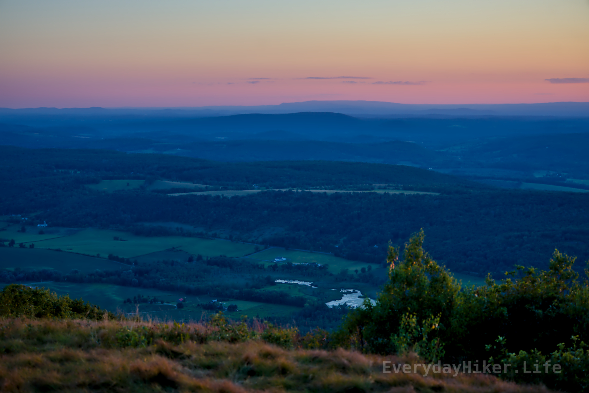
Farms along the valley west of Brace Mountain at sunset.

To the north of Brace Mountain lies Alander Mountain and Washburn Mountain behind it.

The state line between Massachusetts and Connecticut is delineated by this weathered brass marker, placed in 1906.

no comments (yet)
sorted by: hot top controversial new old
there doesn't seem to be anything here